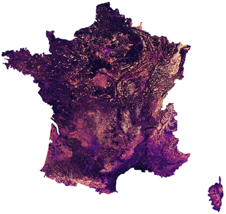
This collection contains France-wide forest attribute maps (2018 - present) derived from a deep learning framework that leverages data from Sentinel-1, Sentinel-2, and GEDI satellites.
The products are organized into 3 datasets:
- Forms-T Biomass: biomass map with a 30 m resolution. Units are expressed in megagrams per hectare (Mg.ha⁻¹)
- Forms-T Height: canopy height map with a 10 m resolution. Units are expressed in centimeters (10⁻² m)
- Forms-T Volume: standing wood volume map with a 30 m resolution (WVD files). Units are expressed in cubic meters per hectare (m³.ha⁻¹)
Recommended usage: products can also be visualized and accessed in Python without downloading, via the following STAC catalog:
https://browser-theia.stac.teledetection.fr/. A Python code snippet for accessing and using the data via STAC is available
here.
Products can also be visualized in QGIS by following the instructions provided in the CDS Theia Montpellier catalog or by directly adding XYZ tiles.
Products can also be downloaded as .tif files directly from this
Zenodo repository.
For more details on the methodology and validation, please refer to the associated publication
Schwartz & al., 2025[1] 